It was hard to get going after heading out. I didn’t leave until mid afternoon. Several people were only going to the campsite just outside of town. It sounded good to me. Some of us even walked back in for dinner.
Daily mileage: 1.4, AT mile: 469.0
Getting up the next day I still didn’t have much stamina. Just climbing Iron Mountain was tiring and it was only 600 ft from where I was.
I made it up to Saunders Shelter by early afternoon for a lunch break. Several new faces came into camp and good conversations followed for hours. I decided I’d just stay the night.
Daily mileage: 7.8, AT mile: 476.8
The AT dropped back down on the Virginia Creeper Trail again for a much longer stretch. The Creeper Trail is a Rails to Trails project that has turned into a great bike path. It was nice, flat walking and very scenic along the river. I vote for routing the trail along there. There is no need for the tortuous climbs! I rested a while and watched the cyclists then went down to the river for a nice nap.
I made it to the base of Whitetop Mountain and found a perfect pine grove to camp in. The 2100′ climb wasn’t a factor, I promise.
Daily mileage: 8.9, AT mile: 485.7
For the several days previous I had been in some kind of funk and just had no energy. Finally that would change, plus this would turn out to be my favorite section of trail.
I made the big climb up to Whitetop and then took a good rest at Elk Garden. When I got to Deep Gap, I was out of water. There was a blue blazed trail to a spring. I followed it and it must have been 0.2 or 0.3 miles off trail. It was a good source, but totally not worth the walk because there was another perfectly good one right on the AT only 100 yards north! All those wasted steps…
The trail changed mountains and I was walking along Mt Rogers. It was incredibly rocky and tedious until it opened up to fields near the top. I ate well at the Thomas Knob shelter then went out on the trail to see what this area is famous for.
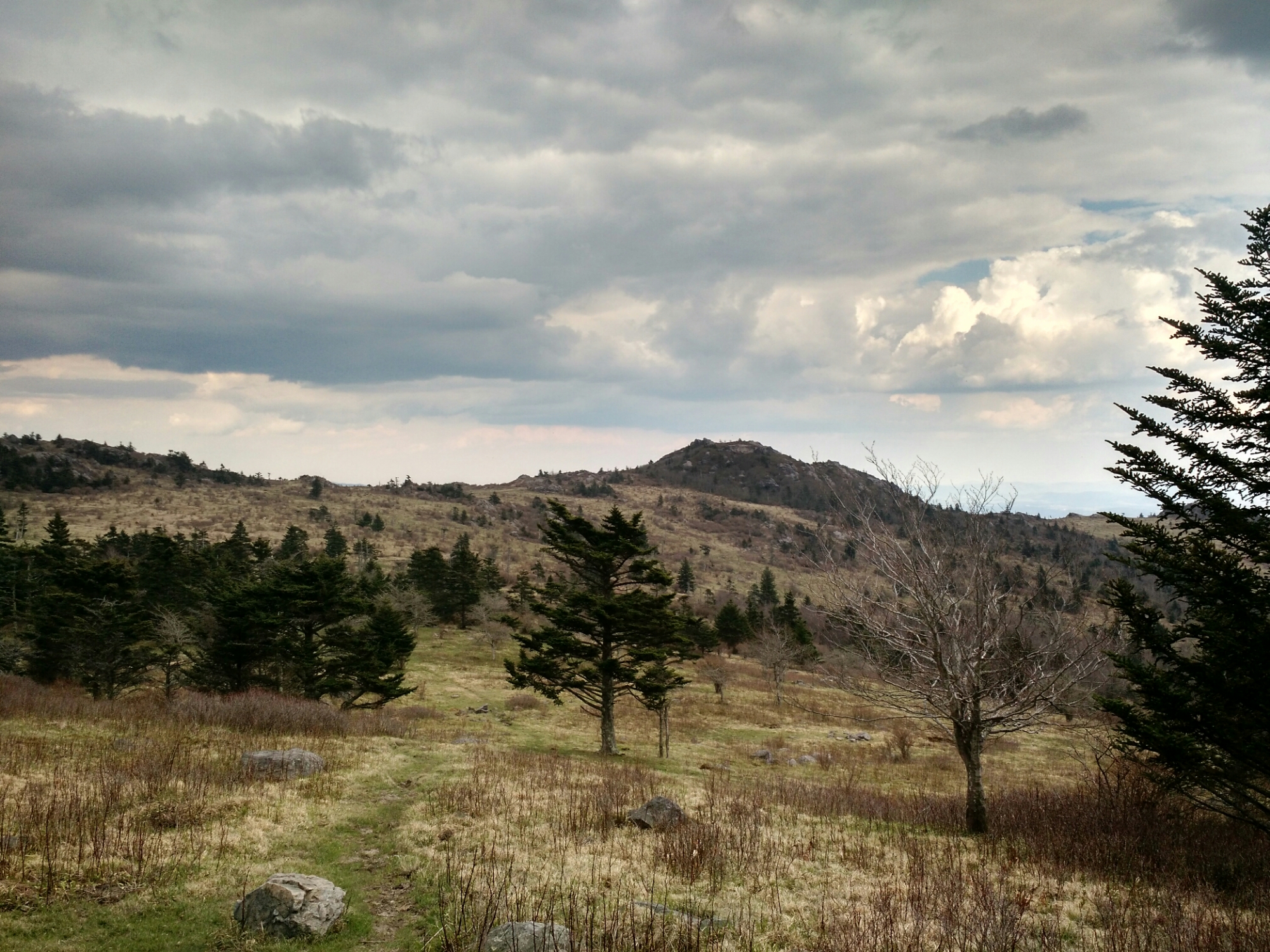
The fields are very pretty here
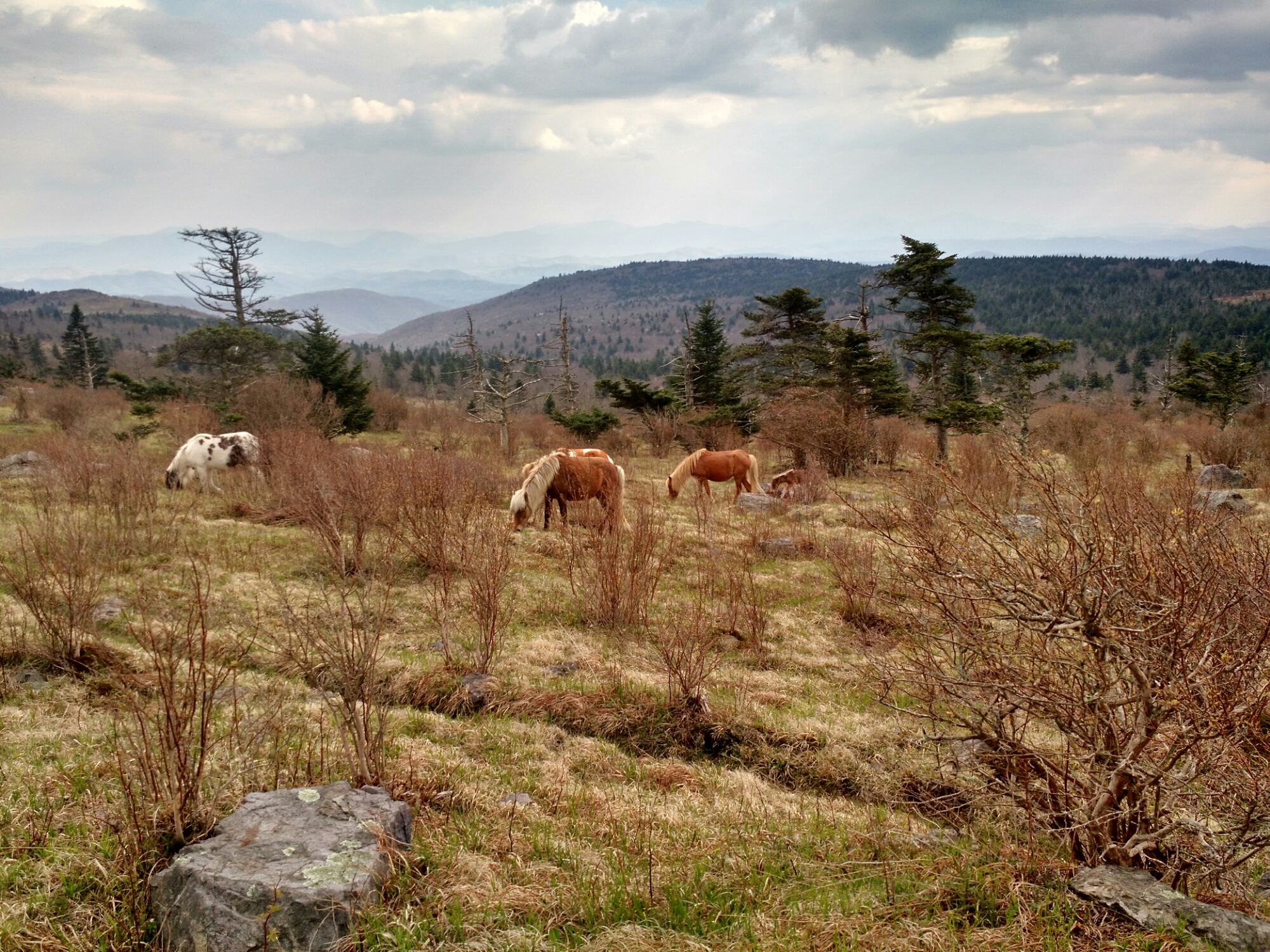
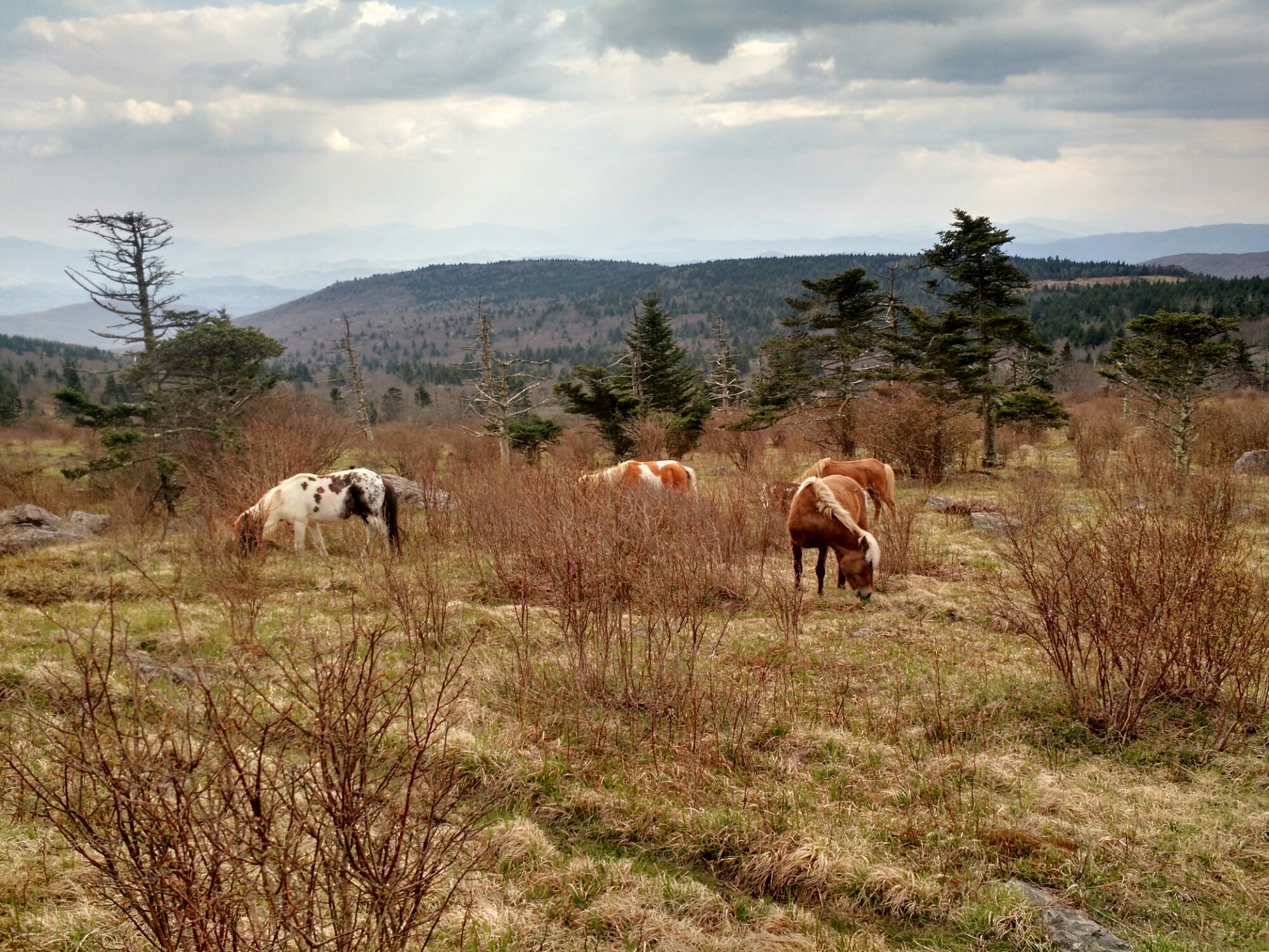
I left the trail and walked into the open fields of Grayson Highlands. You can walk right up to herds of wild ponies! One herd had 4 foals.
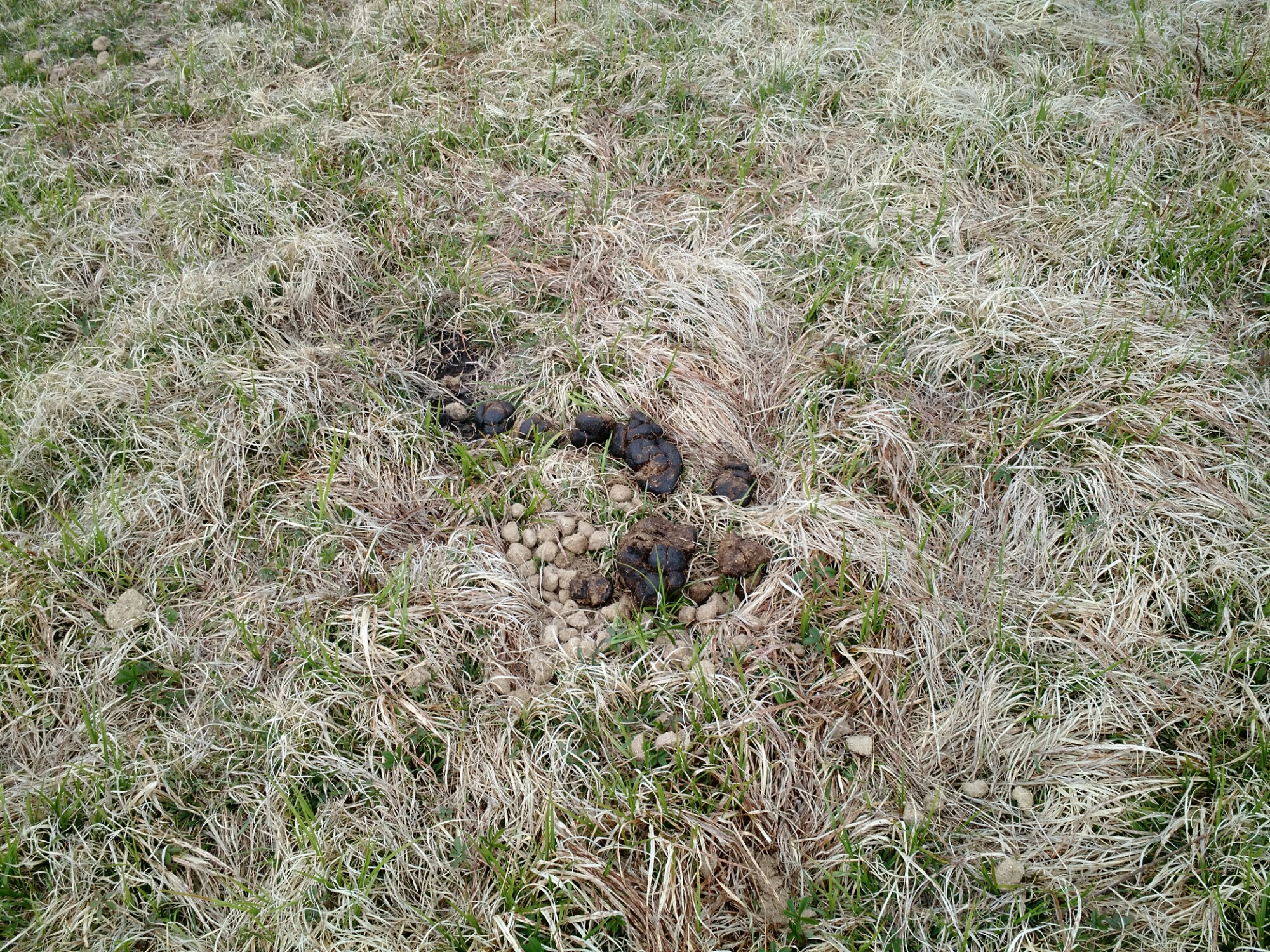
Of course, whenever you have lots of ponies, there is plenty of pony poop to go along with them. Watch your step.
After the awesome fields, there are two rocky knobs to climb over. They weren’t too challenging but did require some big step ups or hands in a couple spots. You get to go through “Fatman Squeeze”. Despite its name, it wasn’t much of a squeeze.
Coming off the knobs was some more pretty fields. You could hear the thunder coming in the distance. A couple of weekenders got scared and took down their tent to move to a lower elevation. They were surely fine since they were already a ways down and the lightning was 20 miles away.
Just as I entered the state park boundary I got to see one herd of ponies running and chasing off another herd. Then of course, it started to rain. Like most rains, I didn’t even bother with the rain jacket. It just ends up being too hot and uncomfortable.
I came up on a pony blocking the narrow trail. He didn’t want to move and made me bushwhack around him. The Wise Shelter was full when I arrived. I stopped for some good snacks and then hiked out by headlamp since there is no tenting in the area.
This night hike kinda sucked since I first walked out into a what I thought was a grassy field trying to find a tent site. It turns out, it was a marsh. My feet were soaked. I suppose though had they not gotten wet there, they would have gotten wet in the couple hundred yards of rock hopping just ahead. I could barely tell where I was going due to poor blazing, ill-defined trail, and the fog rolling in. Finally I found a good site and finally made a decent mileage day.
Daily mileage: 16.3, AT mile: 502.0
