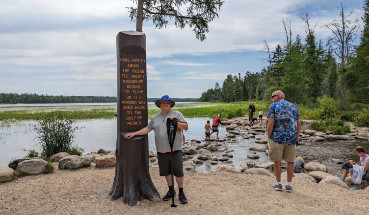
Today I started off down the Mississippi River in a 17 foot canoe. The river’s source is Lake Itasca in northern Minnesota. It winds through 10 states before it empties in the Gulf of Mexico. The monument at the start claims 2552 mi and the Army Corps maps have around 2310. I suspect it’s true length is between those two, but always changing.
My sister was awesome enough to drive me from Chicago to Minnesota so a car didn’t need to be left in the middle of nowhere. We finished up the last few hours this morning and arrived at Itasca State Park. I went over my gear checklist one last time and loaded the canoe and got it up on the portage wheels.
As we rolled the 600′ to the source, it seemed hard to pull. The wheels were breaking. They finally gave out about 75′ away. My sister helped me carry stuff the last leg, including the canoe. We waved to the camera and got my picture at the monument.
It was pretty crowded, but the boat drew some attention. One guy asked “Are you going to float the whole thing?” To which I responded, well it will be a lot of paddling. Honestly though, as I sit here at the end of the first day, I’m not so sure I was right either.
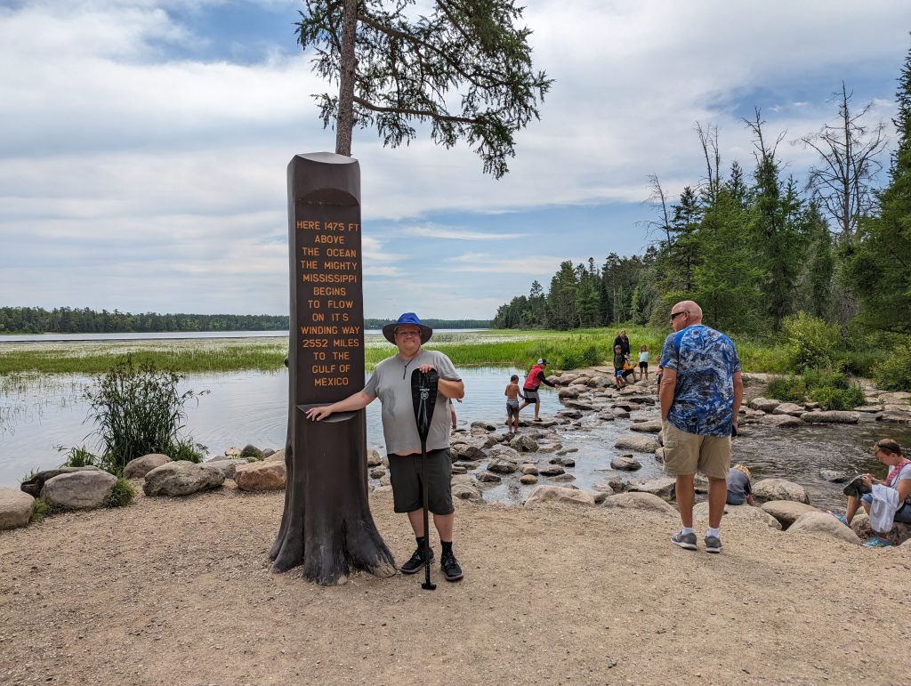
Right at the beginning is a lot of walking because it is so shallow. Once I could finally get in the boat: more walking. It was boat, walking, boat, walking for a while. I passed a foot bridge where my sister was waiting with a small crowd that wanted to see me go by. She said “Last chance to change your mind!” I quickly replied “Too late now. I’ve already committed. I won’t shower or shave until I get to the Gulf.” That got some good laughs from everyone around, but now I hope I finish before my cousin’s wedding in October because it could be pretty awkward without the shower bit, haha. I finally reached a point where I think I’ve finished walking for a while. That’s when the real fun began.
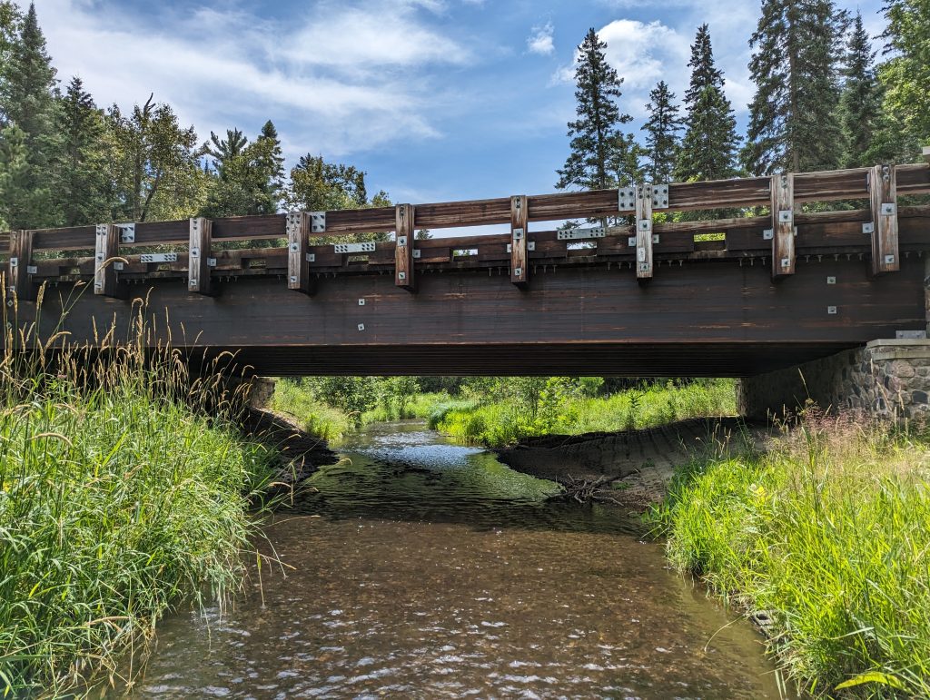
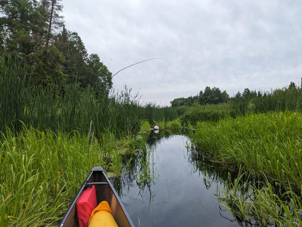
The river opens into some wetlands. Essentially it’s another lake. The seaweed would slow the boat down and made paddling tough. Then came the dead end. It was very confusing. I saw some matted grass where another paddler dragged their boat through, but how did they stand? This grass was floating on the top of the water and it was deeper than my paddle could touch. Eventually I figured out how to pass. I rammed the boat up on the matted area and then rocked forward and back to scoot my boat up there. Once I could reach the grass it made it a little easier since I could grab a handful and pull myself. I had to shift some weight to the back first, and then to the front when I had gotten halfway through.
I had a few more spots like that and getting through them was exhausting. Next obstacle: a beaver dam. I had seen one swimming a little ways back and if I had known what he left for me I’d be tempted to give him a nice smack with my paddle. I had to portage around, which involved soft mud where I sank to my knees when I got back in.
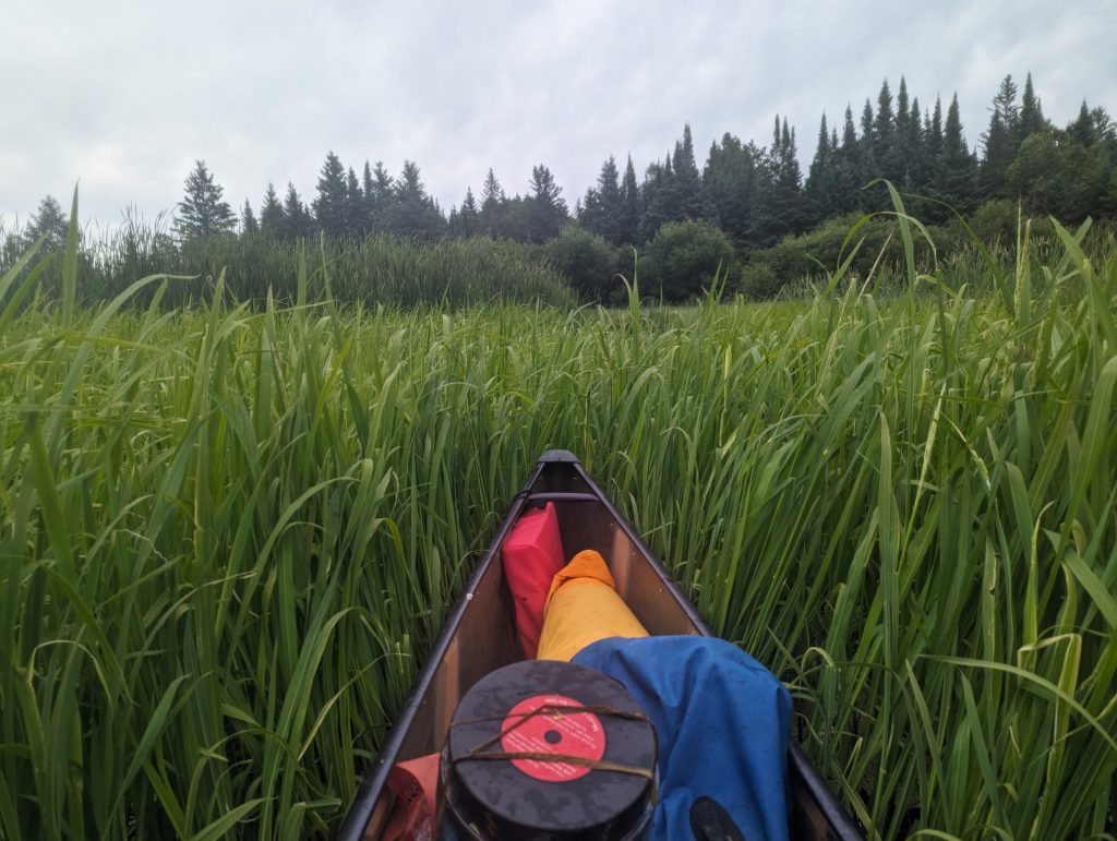
It was a little easier after that. Though oddly I was more paddling grass a few times than water. This grass was growing from the bottom though and easily gave way as I went over it.
I finally arrived at the Wanagan campsite and took a nice swim when I found out the mud at the landing was soft like earlier when I tried to step out of my boat.
Total mileage: only 4.8
Day 1
Wow, what a start!!! I can’t wait to see more. You go Nick!
Amazing! Love the pictures. We also want you to finish before the wedding!
It’s going to get better
Sasquatch country. And watch out for those smakes, water moccasins, and Piranhas
No sightings so far (on any of those)!
You’ve got guts to take on this challenge Nick! I hope the water gets deeper for you in a hurry.
All your aunties at the Bingo Hall are pulling for you, Nick!!