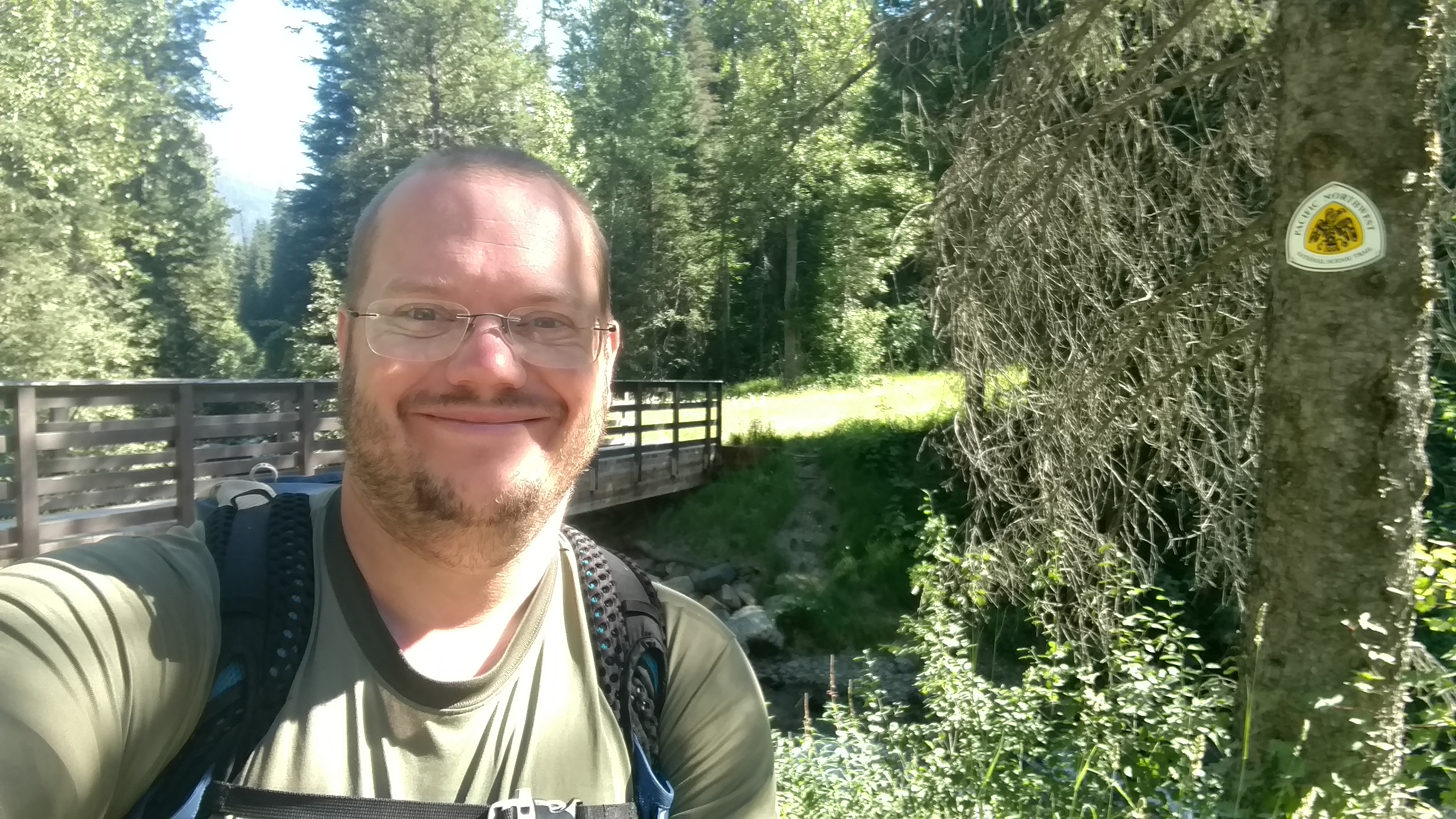
Day 7 (July 18): I woke up after another successful night. I have a pretty low bar for successful nights these days. The primary criteria is not getting eaten by a grizzly. Strangely, most of the secondary criteria involve wildlife too. Anyway, off I went for an easy start. The Blue Sky Creek trail was more abandoned road with a gentle downhill for almost the whole way. I made pretty quick time to the bottom. Just before the road is a grassy area where some people camp and also a trail register! Well, sort of. There was a box for a register or trail log of some sort and inside a thru-hiker had left a previous map section. It was nearly full on one side and I happily added “Parks” in the margin. The only hikers close were the three I met on day one: Jason, Judd, and Right On. Their date was 7/16. I assumed they stayed the night there on that day, so only about a day ahead of me. I had no intention of catching up though. Here is me at the bridge.
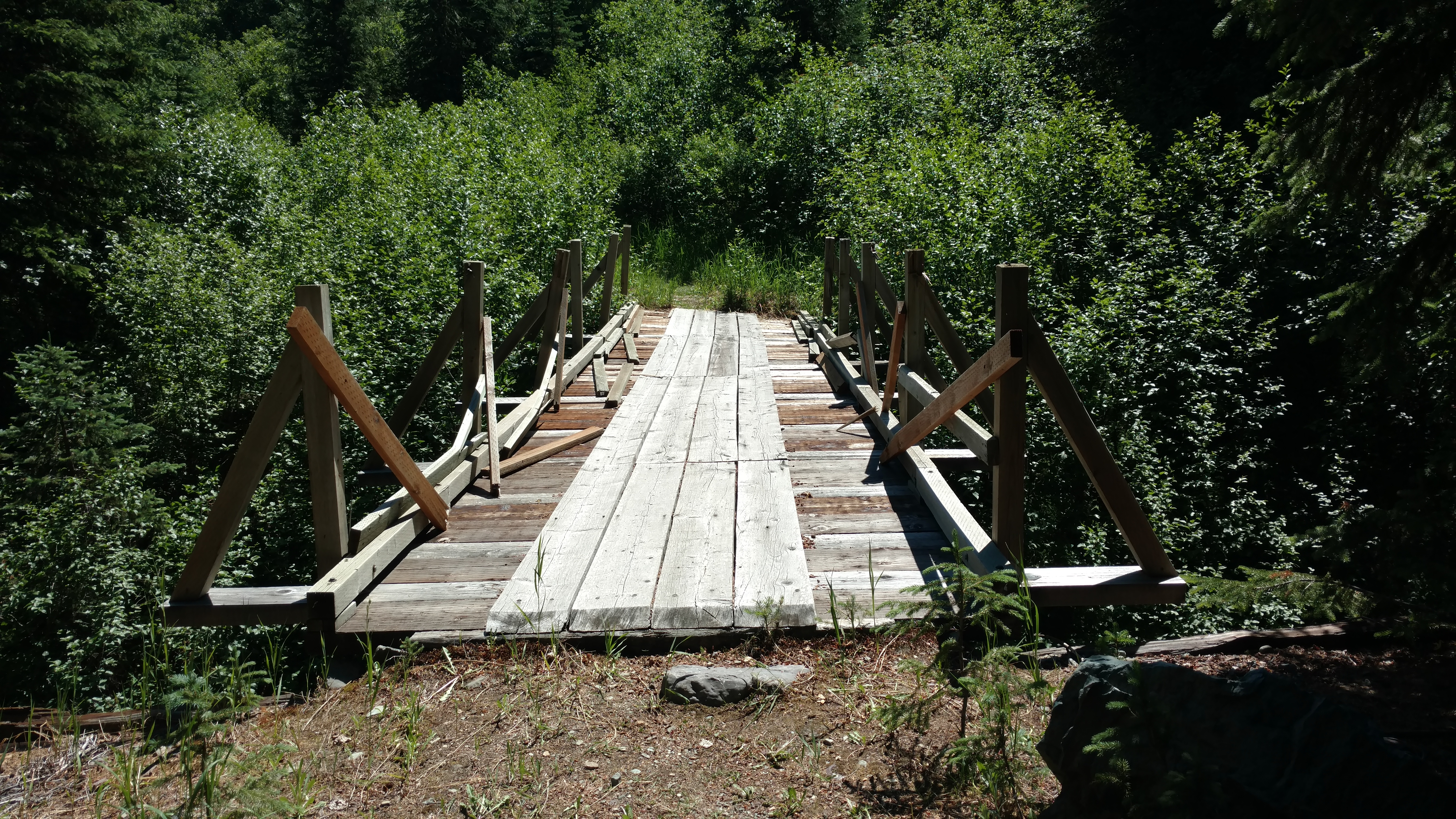
The next couple miles were a road walk but it excited me a little since this was the Tour Divide route. Take note, it’s a lot faster on a bike. Next up was more abandoned road. The bridge along it had seen better days.
I also passed the 100 mile mark! I didn’t figure there would be one made so I took a few minutes to lay one out. Someone had made one, but it was at least a half mile too far. Either way, I got a photo.
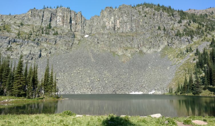
The climb up to Mt Wam was a bit of a slog, but I got a nice little lake along the way.
From there it was lots of up and down on steep trails, banked such that it wanted to push you down the steep cliffs. An ankle can only take so much walking sideways. I finally reached the side trail to Stahl Peak that has a lookout on top. I briefly thought about staying up there for the night, but no way was I hiking an extra 0.8 miles with 600′ feet of gain only to do the reverse in the morning. This trail is long enough. I’ll keep the “bonus miles” to a minimum. I happened to find a wonderful flat spot shortly after the junction and it served me well.
Day 8: Truth be told, I wasn’t really excited for the next section where the guidebook said it wasn’t quite “billy goating” the side of the cliff. If it was worth mentioning it must be notably worse than the other nonsense I’ve already dealt with. I tramped up and down the ridge until I got to that short bit. It was a big scree field that had a trail through it. The trail itself was pretty level and the builders had used reasonably small rocks. This ended up being a nice bit. Scree tends to be more stable than dirt and has less of a bank angle than you can get with dirt. I suppose it’s because the rocks have a fair bit of momentum when they reach the pile and roll a bit before coming to rest. The pile tends to sort itself with the larger chunks at the bottom.
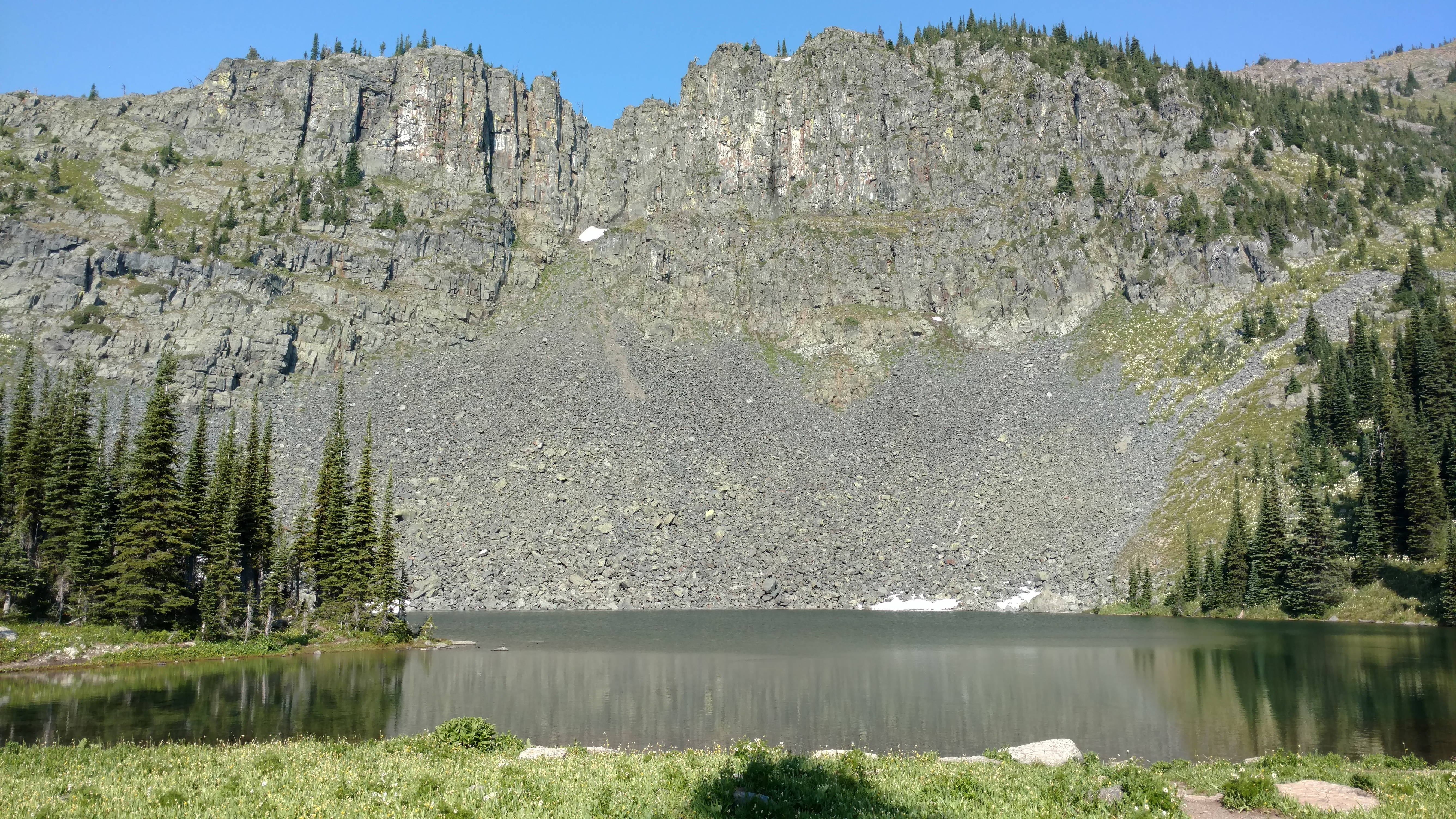
Rounding the sides of a few peaks I came to a shelf that was home to the most beautiful glacial tarn I’ve ever seen, Bluebird Lake. The tiny lake had crystal clear waters, surely fed by the snowmelt. In front of it was a small, flat meadow, with mostly ankle height grass. It was the perfect place to pitch a tent, unless you’re keen on mosquitos like myself, in which case, a tarp. The backdrop to the lake was a rocky cliff with scree tumbling down to the water’s edge. The meadow was tucked in amongst mature pines that made the whole site feel cozy.
I gave real thought to just staying here for hours, a place I’d recommend to any backpacker. But then I remembered that I could be in Eureka, MT that evening. Town meant pizza and wings and beer. The stomach started making decisions. Onward then to food. Another good steep climb was in order, with beautiful views into the Bluebird Basin, which includes not just the pretty lake, but the whole valley below. The haze in the valley and the morning sun prevented a post worthy picture. Overall the Ten Lakes Scenic Area should be on anyone’s must do list. I rate it way higher than anything I did in Glacier NP.
Once reaching the saddle of Green Mountain and some other peak not named on my maps, I exited the basin and began a hell of a descent. It’s roughly 1250′ in 1.3 miles. That’s the kind that is agonizingly slow so as not to move downhill on something other than your feet. Relief came when I reached the old mining road, or at least I thought. It was a gentle uphill in the beginning and then turned to a gentle downhill as I approached the border some 4 miles later.
I wondered how close I was to the demarcation line when I reached the most northerly point on the whole trail. Just before I hiked on, I noticed the sign.
After taking another moment I realized that I was at the clear-cut strip between the two countries. Canada was only a stone’s throw away from me. This area was starting to grow in a bit, slightly obscuring it when close up.
My feet were already feeling sore from the hard surface of the old mining road. It is slowly softening as duff gathers and the plant roots break up the hard pack of the road, but it’s rough on the feet still. I was tempted to called it a day, I surely made enough miles to feel satisfied. The stomach though, it was still in control. I was salivating at the thought of pizza or wings. My feet disagreed with this assessment, wanting to wait for morning instead. Shut up, feet.
I had 11 more miles of road to go and they got progressively worse. At first it was just 3 more miles of the gentler road I was already on. Once down to the valley though I passed the barricade and now walked on real hardpack where cars traveled. It carried on like this for about 4 miles before switching to an oil and chip road. My feet were screaming by this point. And worse, my tree cover was entirely gone, leaving me to bake in the intense Montana sun.
There was no stopping now since I had exited the forest and walking by private property. I don’t think they would take kindly to someone camping in their pastures, as if the electric fences and no trespassing signs didn’t make it clear enough. Now, out of water, out of patience, praying for relief, I hit the busy highway 93. It has no shoulder and gobs of traffic. The grass on the side was usually too banked to walk comfortably, or at all. Two miles of this before the hotel I stayed in last year on the Divide. The whole soles of my feet ached with every step and I had throbbing pinch blisters on the outside of my heels. Why didn’t I listen to the feet?
Finally I finished 24 miles for the day and grabbed a room at the Ksanka Inn. As I was checking in to the room, which happens at the adjoining gas station, I made a light joke that I was overdue for a shower. The attendant was quick to reply “I can see that” in a humourless and kurt manor. As if I wasn’t in enough pain, that felt like a jab at my basic decency. No doubt it was all true.
Following a quick shower I made my way to the neighboring casino/restaurant, limping every step. I instantly recognized the waitress from the previous summer. Weird how some faces seem to be so memorable. I got my wings and at the time it all seemed worth it. It’s important to know that the stomach has a short memory, but feet will hold a grudge for days. I played on the web until my phone died. Time for sleep.


